Day 27 | bike paths too good to last


Distance
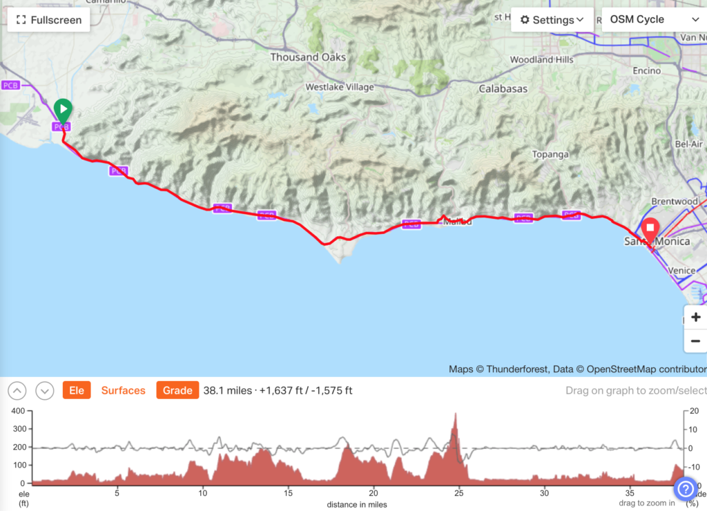
75.2 miles
Elevation Climbed
2,151 ft
Landscape
Beach towns, mountainous horizon, wavey ocean
Weather
Overcast to sunny, 60s F
Lars’ Notes:
Starting in Carpinteria to cloudy skies, we meandered through town for a few miles to find the bike path bypass of the extremely busy Rt. 101. It was a great relief to be off the highway, the path was adjacent to the water and offered great views of the Pacific, although the overcast skies muted the beauty of the ocean. Navigating today was challenging because the Garmin GPS unit that we have been using decided to be finicky; it couldn’t locate any satellites. We managed through a combination of our phones and Google Maps. As we went through Ventura, we had another great bike path that wound us through the beach and many public parks. Next was Ventura Keys as we approached Oxnard, where there were some really cool homes that had their own personal docks with access to the ocean.
The next stretch was unclear as we planned because we had to pass a military base at Port Hueneme. Our GPS wouldn’t allow us to plot our course through this area for two reasons, first, that section of Rt. 1 was a Freeway (bikes not allowed) not a Highway (bikes allowed) and the second was that a portion of the road passed through a military base where civilian access was prohibited. The bike route painted on the roads led us to the proper route, we think. We actually crossed a line, painted in blue, on the street that told us we were trespassing on Government Property. Thankfully we passed through without getting stopped by any machine gun toting MP’s!
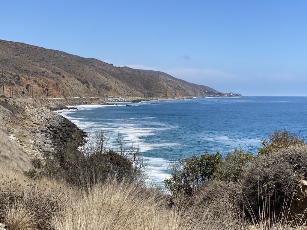
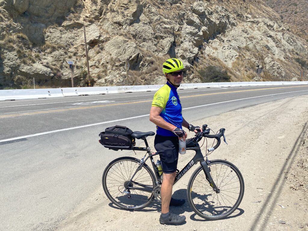
From there, the directions were easy, Rt. 1 for about 35 miles. We passed the Santa Monica mountains and National Recreation area. The sun was shining brightly at this point and we had stunning views of the mountains to our east and the Pacific to our west. There were tons of RV’s parked along the various beaches and lots of opportunities to watch surfers out and about. As we entered Malibu and Santa Monica, we saw some great scenery and some expensive real estate! The traffic on this stretch of highway was very dicey; two lanes of traffic with the shoulder filled with beachgoer’s vehicles. We had to squeeze between the parked cars and the large volume of traffic. We had to be very alert to people opening the doors and taking us out, cars pulling into traffic and cars approaching from behind. One unexpected challenge, believe it or not were garbage cans! Apparently, it was garbage day and there were dozens of large garbage bins strewn throughout the shoulder or bike lane creating another set of obstacles. The ride ended on a wonderful bike path along the Santa Monica Beach where we had smooth riding with many entertaining characters to observe along the way. Today was our longest ride at 75 miles.

Kirsten’s Notes:
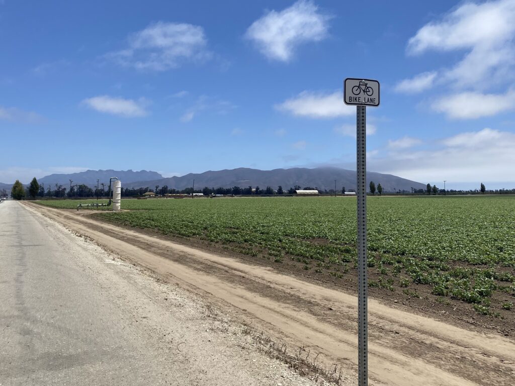
Over half of the miles today were extremely enjoyable. We started on a protected bike path most of the way from Carpinteria to Ventura and went along the familiar Ventura boardwalk/ through the Keys which I was lucky enough to enjoy during a month of living there in transition out of San Francisco last year. It was overcast out so it didn’t show off its full beauty for Dad but we found pleasure in the warm breeze and watching surfers catch (or wipe out on) waves nonetheless. The sun started coming out after we stopped for lunch along a busy strip in Oxnard. We passed long stretches of farms (unknown vegetable, sod) with 300 degree mountainous landscape and then had to pass through Point Mugu Naval Air Station to avoid the part of Route 1 deemed a freeway. There was no other option past Point Mugu other than to get back on Route 1 although it wasn’t clear whether we were allowed there until we were side-by-side with traffic on the shoulder and saw a comforting ‘Freeway End’ sign (that I never would’ve given a second thought as a driver before this trip).
Heading south we are now up close and personal with mountains that were once in the far distance and can see their jagged, crumbly edges. These cliffs have the ability to change from entrancing to treacherous in seconds if they started to crumble so it made sense that many were netted off and there were signs to watch for falling rocks everywhere. The southern edge of Point Mugu State Park heading east was a very pleasant ride – healthy, unobstructed shoulder, roads that were in good condition and more natural than developed surroundings. That changed almost immediately once we crossed into Malibu. Cars were parked illegally all over the shoulder forcing us into the road next to cars whose speed held consistently fast despite close proximity to us, the road had potholes galore and mega mansions and apartment complex littered the hillside and coastline. I was laser focused on not running into pedestrians that weren’t checking for bikes or cars before going in or out of their illegally parked cars and making myself visible to drivers when the shoulder diminished or was unrideable by holding my arm out to the left to ask for space. There wasn’t another viable option for us but I wouldn’t recommend this section to a friend. Once we reached Temescal Canyon we were able to peel off and hop on the Ocean Front Walk which has separate protected bike and walking lanes that take you along the beach. There were an amazing number of roller skaters and a few of them were timing their turns and doing impressive foot work to the beat of their music. I met up with one of my best friends Elsa by the Santa Monica pier, caught up over dinner and watched the sunset over the coastline we biked the entirety of and more today (so cool!).

